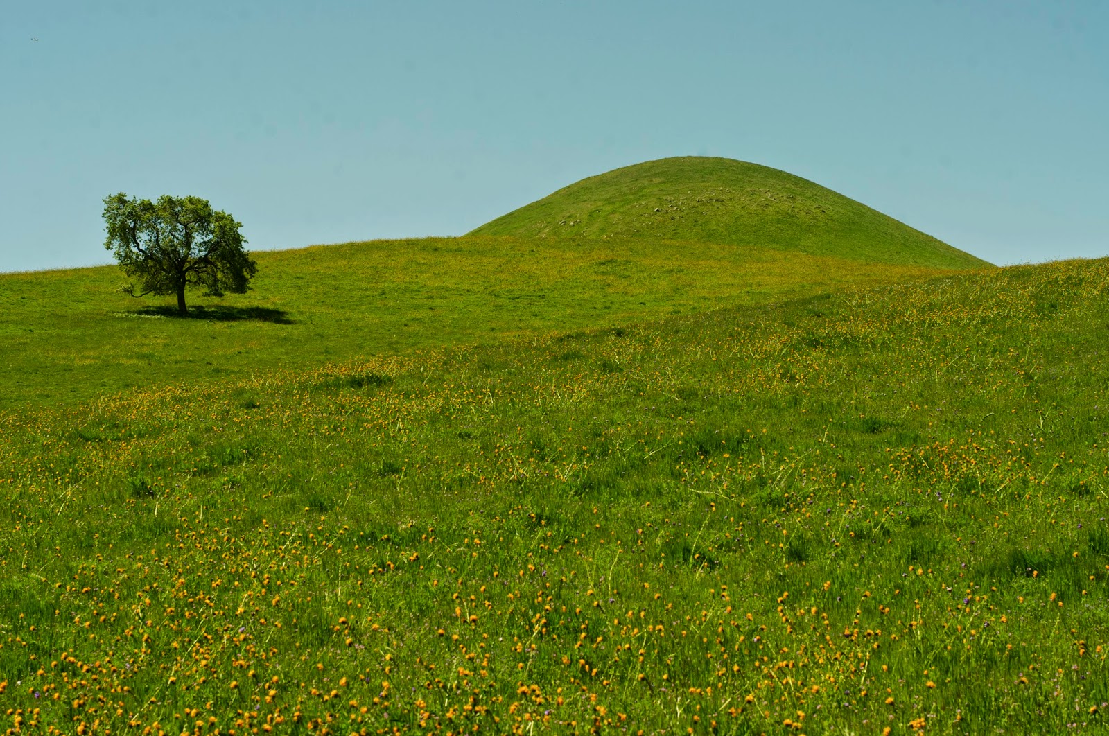
Well here we go again, the start of another growing season
in our grasslands. You see, the plants that are found in the southern San
Joaquin Valley grasslands on Tejon Ranch are almost entirely “annual” species,
which means they germinate from a seed in the soil, grow to maturity, reproduce
(dropping their seeds for future cycles), and die all in the same year. In many
parts of the country, including parts of California such as the high Sierra
Nevada, vegetation goes dormant in the winter. However, in parts of California
with a Mediterranean climate, fall and winter precipitation actually starts this
annual growth cycle, and we see green-up of our grasslands with the onset of fall
and winter rains (see the images below).
Photos of
germinating annual plant species taken November 21 in the White Wolf area of
Tejon Ranch. The seedlings in these two photos are primarily forb rather than
grass species.
These annual plants include both grasses and the broad-leaved
plants called forbs that produce our showy wildflowers. In our San Joaquin
grasslands, almost all the native plants we see are forbs (although there are
also nonnative forbs), while virtually all the annual grass species that occur
here are not native to North America. As discussed in past
blogs, in the San
Joaquin grasslands on Tejon Ranch native wildflowers (forbs) like lupine,
California poppy, popcorn flower, and owl’s clover are a part of the native
biodiversity that we are charged with enhancing. These wildflowers are also
some of the most popular resources for visitors to the Ranch.
 |
| Wildflower displays in the southern San Joaquin can carpet the hillsides. Photo courtesy of Parker Lefton. |
Therefore, fall is also the time Tejon Ranch Conservancy
staff start speculating on the spring wildflower bloom! We wait anxiously for
news of impending El Niño
events, which tend to increase the amount of rainfall in the southern part of
the state. More rain means more flowers right? Well not always. A very dry year
can certainly depress the wildflower bloom, but one of the interesting findings
of our grassland research is that the timing and patterns of weather (rainfall
and temperature) can affect the abundance of grasses vs. forbs, and thus the
wildflower display that that we see in the spring. In years where weather
patterns favor grasses over forbs, we may have a lot of annual plant growth but
have poor wildflower displays. I’ll discuss these patterns more in a minute,
but for purposes of context let’s first revisit the rainfall in the southern
San Joaquin Valley since the Conservancy was established in the summer of 2008.
Rainfall totals (inches) for Bakersfield by
Water Year (July 1 – June 30)
Water Year
|
July
|
Aug
|
Sept
|
Oct
|
Nov
|
Dec
|
Jan
|
Feb
|
Mar
|
April
|
May
|
June
|
Total
|
2008-2009
|
0
|
0
|
T
|
T
|
1.06
|
0.63
|
0.37
|
1.71
|
0.36
|
0.41
|
0.35
|
0.06
|
4.95
|
2009-2010
|
0
|
0
|
0.01
|
0.08
|
0.1
|
1.66
|
1.82
|
1.77
|
0.25
|
1.14
|
0.27
|
0
|
7.10
|
2010-2011
|
T
|
0
|
0
|
0.59
|
0.84
|
5.82
|
0.4
|
0.49
|
1.67
|
0.21
|
0.23
|
0.08
|
10.33
|
2011-2012
|
T
|
T
|
T
|
0.55
|
0.76
|
T
|
0.44
|
0.29
|
1.27
|
1.62
|
0
|
0
|
4.93
|
2012-2013
|
0.02
|
T
|
T
|
0.02
|
0.1
|
0.65
|
0.83
|
0.6
|
0.83
|
0.05
|
0.05
|
0
|
3.15
|
2013-2014
|
T
|
0
|
T
|
0.03
|
0.94
|
0.1
|
0.12
|
0.32
|
0.36
|
0.5
|
0.04
|
0
|
2.41
|
2014-2015
|
T
|
T
|
0.01
|
0.64
|
0.01
|
|
|
|
|
|
|
|
0.66
|
|
|
|
|
|
|
|
|
|
|
|
|
|
|
Average 1981-2010
|
0
|
0.04
|
0.08
|
0.3
|
0.64
|
1.02
|
1.16
|
1.24
|
1.21
|
0.52
|
0.18
|
0.08
|
6.47
|
T = trace amount of rain.
This table shows the monthly and annual rainfall
totals for Bakersfield arranged by water year, with the long-term (29-year)
averages shown at the bottom of the table. As rainfall in California occurs
largely in the fall and winter, a calendar year accounting of rainfall splits
our rainy season in two. A water year, running from July 1 to June 30 of the
following calendar year, solves this problem and allows more biologically
relevant year-to-year comparisons. If we look at the annual totals, we see that
of the last six complete water years, two were above average and four were
below average. As we all know, three of those drought years occurred back-to-back
over the last three consecutive years, with last year being the driest in a
long while. For example, over the last three years Bakersfield is 8.92” below
average, or to put it another way, has a cumulative deficit of almost a year
and a half worth of total rainfall! Pretty dry indeed. However, notice that
timing of rainfall varies greatly from year to year. For example our driest year
(last year, 2013-2014) had more rain in November than did our wettest year
(2010-2011).

OK,
back to our grassland research. While the results are complicated and are based
on a lot of statistics that I won’t delve into (thanks to Sheri Spiegal for the
analysis!), they suggest that early rain, for example during October and
November, encourages annual grass growth, whereas when fall months are drier,
we see more forbs. I am simplifying things
a lot but the specific weather patterns that we see each year are important determinants
of what grassland plants are most abundant and therefore the extent of the wildflower
display. For example, we had good
wildflower displays in the spring of 2009 and 2010, but grassy conditions in
2011.
 |
The Old Headquarters area of Tejon Ranch on 4/1/2013.
|
 |
| Old HQ on 4/9/2014. |
 |
| Old HQ on 4/9/2014. The tree in the lower-right of this bottom photo is the furthest right in the above two images. |
So
what will the spring bloom look like?
The safe answer is “I’m not sure.”
October was pretty wet but November was dry. As I write this blog, we just had a nice
December storm pass through that dropped a bit less than 1/2” of rain in Bakersfield. Things are greening up quickly on the Ranch,
but we are still pretty early in the water year. However, if I was a betting man, I’d say dust
off your cameras and wildflower field guides and hang on for our annual ride!